25 632600 info@pyrgos.org
25 632600 info@pyrgos.org
Pyrgos lies in the Limassol district, about 13 kilometres east of Limassol, on the slope between the Limassol–Nicosia motorway and the sea.
By car the village is reached from the motorway; the neighbouring communities are Monagroulli and Moni to the south-east and Parekklisia to the west. Bus times and the village map are to be supplied by the Council.
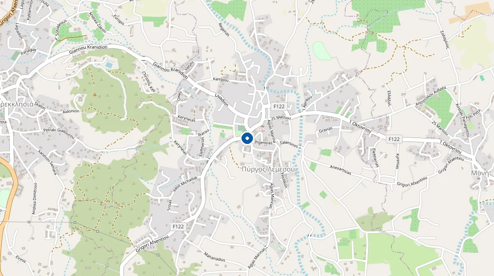
Directions to the Council office Open in Google Maps
 COMMUNITY COUNCIL
of Pyrgos Limassol
The Community Council serves the village of Pyrgos and its residents.